World Ocean Floor Mapping Hits Historic Milestone: 28.7% of Seabed Now Charted
Global ocean mapping effort adds five million square kilometres in a single year , the biggest collaborative push in modern marine science history.
The world’s most ambitious ocean exploration programme has reached a landmark moment. The Nippon Foundation-GEBCO Seabed 2030 Project has confirmed that 28.7% of the global ocean floor is now fully mapped , a figure that represents approximately 104 million square kilometres of charted seabed, an area larger than two-thirds of Earth’s entire land surface.
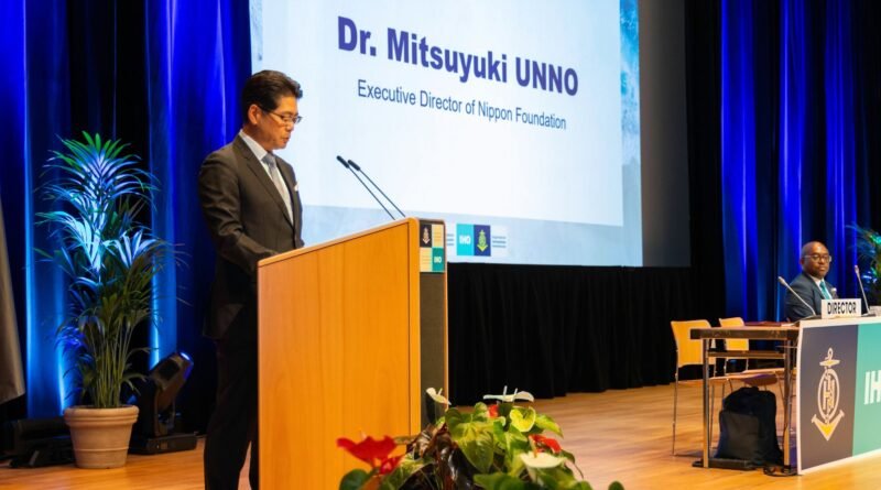
The breakthrough was announced by Mitsuyuki Unno, Executive Director of The Nippon Foundation, at the Assembly of the International Hydrographic Organization (IHO) held in Monaco last week.
Five Million Square Kilometres Mapped in Just Twelve Months
What makes this update extraordinary is the pace. In the past year alone, five million square kilometres of new bathymetric data were added to the GEBCO Grid ,a rate of progress that reflects the growing momentum of international ocean science collaboration.
A total of 220 organisations have now contributed data to the project, including 15 new contributors over the past year. First-time submissions came from countries including Malaysia, Morocco, Papua New Guinea, and Saudi Arabia, signalling that ocean floor mapping is finally becoming a truly global endeavour rather than a pursuit dominated by a handful of wealthy maritime nations.
Why Ocean Floor Mapping Matters , and Why It’s So Hard
More than 70% of the planet is covered by ocean, yet for decades the seabed has remained less understood than the surface of Mars. Accurate deep-sea mapping is foundational to a wide range of critical sectors:
- Marine navigation and maritime safety — reducing collision and grounding risks for commercial shipping
- Submarine cable routing — supporting the undersea infrastructure that carries 97% of global internet traffic
- Offshore energy development — enabling precise placement of wind farms, oil platforms, and tidal energy installations
- Ocean science and climate research — understanding deep-ocean circulation, tsunami generation, and carbon storage
- Seabed mining and resource management — informing responsible governance of polymetallic nodule and hydrothermal vent fields
Without complete seabed charts, every one of these industries operates with significant blind spots.
Regional Breakthroughs: Some Areas Tripled in Coverage
The 2026 Grid update delivered striking gains in specific regions. The ROPME Sea Area saw its mapped coverage more than triple, jumping from approximately 6.4% to 20.5% , one of the most dramatic single-year regional improvements the project has recorded.
Additional coverage increases were recorded across the Eastern Atlantic, North Indian Ocean, Meso American and Caribbean Sea, and North Sea regions. At the national level, multiple Exclusive Economic Zones (EEZs) also recorded substantial increases in mapped coverage.
Who is Powering this Progress?
The 2026 update incorporated a diverse range of datasets from both public institutions and specialist organisations, including:
- NOAA-NCEI and PANGAEA, two of the world’s largest oceanographic data repositories
- The Global Coastal SDB Dataset from Copernicus/EOMAP, extending mapping into previously uncharted coastal zones
- Satellite-derived bathymetry from the Greenwater Foundation, in partnership with TCarta and Caladan Oceanic
- New deep-water data from JAMSTEC (Japan Agency for Marine-Earth Science and Technology), expanding North Pacific coverage
- NOAA-led Seascape Alaska deep-water mapping campaigns
- Multibeam survey data from the Directorate of Hydrography and Navigation of the Brazilian Navy
- Data around the Comoros, contributed by BRGM (Bureau de Recherches Géologiques et Minières) ,a first-time contributor to the project
The Voices Behind the Milestone
Seabed 2030 Director Jamie McMichael-Phillips put the achievement in plain terms:
“This update reflects what the global community can achieve when data is shared openly and collaboratively. We are seeing that collective effort translate into meaningful results.”
GEBCO Chair Evert Flier highlighted the scientific value of an increasingly complete dataset:
“The GEBCO Grid provides an increasingly robust foundation for ocean science and related applications , today’s announcement reflects the steady progress being made in building a more complete picture of the ocean floor.”
The Bigger Picture: A Race Against Time
Seabed 2030 was established in 2017 with one goal , to map the entire ocean floor by 2030. With 28.7% complete and less than four years remaining, the project faces its most demanding phase. The unmapped 71.3% includes some of the deepest, most remote, and most logistically challenging ocean terrain on the planet , from abyssal trenches to polar seas locked beneath ice.
The project holds formal endorsement as a Decade Action of the UN Ocean Decade, and all data collected is made freely available through the GEBCO Ocean Map, accessible to scientists, policymakers, and maritime professionals worldwide.
Read: Global Maritime Leaders Head to Monaco for High-Stakes Ocean Mapping Summit 2026
Whether the 2030 deadline is met or not, one thing is clear: the global ocean mapping effort has shifted from a slow trickle to a measurable surge , and the ocean science community is finally beginning to see the floor beneath its feet.
All GEBCO bathymetric data is freely available at www.gebco.net
Source: International Hydrographic Organization (IHO)